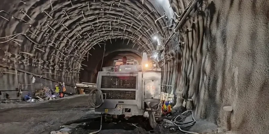
At 251 meters above sea level, London Ontario sits on a complex stratigraphy of glacial till and silt-clay varves. Over 400,000 people now live across this terrain, and every new mid-rise or infrastructure project cuts into ground that remembers the last glacial retreat. Geotechnical excavation monitoring becomes non-negotiable the moment you go deeper than 3 meters here. Water-bearing sand lenses between the till sheets can trigger heave or collapse within hours. We connect inclinometers, piezometers, and survey prisms to a live data feed the site supervisor checks from a tablet. This is not about checking boxes; it is about catching a 2 mm displacement before it becomes a 200 mm failure in downtown London Ontario clay.
A 2 mm lateral displacement at the top of the cut often means the system is working. A 2 mm acceleration in 4 hours means it is not.
Our approach and scope
Site-specific factors
Beneath much of central London Ontario, a discontinuous sand aquifer sits trapped between the Port Stanley Till and the underlying Catfish Creek Till. This confined water pressure can exceed 30 kPa head in spring, pushing upward against the excavation floor. Without vibrating wire piezometers recording pore pressure every hour, the first sign of trouble is usually a wet spot on the base that turns into a boil. We have monitored cuts where the basal heave risk shifted from negligible to critical in a single weekend of rain. The NBCC 2020 requires monitoring when adjacent structures fall within the zone of influence, and in London Ontario, that zone often extends 2 to 3 times the excavation depth through the sensitive silty clay that loses strength when disturbed beyond its Atterberg limits.
Applicable standards
NBCC 2020 — Section 4.2 Earthwork and Excavations, CSA A23.3:2019 — Design of Concrete Structures (Anchorage and Shoring), ASTM D6230 — Standard Practice for Monitoring Well Installation with Inclinometers
Other technical services
Deep Cut Monitoring
Inclinometer strings, piezometer nests, and automated prism arrays for cuts exceeding 4.5 meters. Data pushed to a cloud dashboard with SMS alerts tied to velocity thresholds.
Adjacent Structure Baseline
Pre-construction condition surveys with crack mapping and vibration monitoring. Settlement markers installed on footings and party walls before the first bucket hits the ground.
Tieback and Anchor Verification
Load cell installation on anchor heads coupled with lift-off tests to confirm lock-off loads match the shoring design assumptions for the full excavation depth.
Typical parameters
Quick answers
When does the Ontario Building Code require excavation monitoring?
Section 4.2 of the NBCC 2020, adopted by Ontario, requires monitoring when an excavation extends below the zone of influence of an adjacent structure, typically defined as a 1:1 slope line from the footing base. In London Ontario, the presence of sensitive varved clay often triggers monitoring requirements at depths shallower than 3 meters when buildings are within 6 meters of the property line.
How much does geotechnical excavation monitoring cost in London Ontario?
Instrumentation and monitoring for a typical mid-rise excavation in London Ontario ranges from CA$1,070 for a short-term program with basic settlement points to CA$3,940 for a comprehensive setup including automated total stations, multiple inclinometers, and piezometer arrays with cloud reporting over a 6-month period.
What is the difference between manual and automated monitoring?
Manual monitoring relies on a surveyor visiting the site at scheduled intervals, which could miss a rapid failure that develops between readings. Automated systems use data loggers and robotic total stations to collect readings every 15 to 60 minutes, with alarm triggers set to specific displacement or pore pressure thresholds that notify the site team immediately.
Can you monitor existing cracks on neighboring buildings during excavation?
Yes. We install tell-tale crack gauges across existing fractures before work begins. These gauges measure relative movement across the crack plane to a resolution of 0.1 mm. Combined with settlement markers on the footing, they provide defensible data if a neighboring owner claims excavation-related damage. More info.